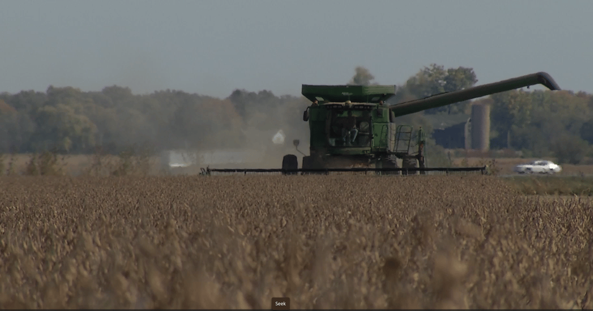
El Nino still in control, for now
Posted on February 27, 2024
Source: Farm Progress. The original article is posted here.

The El Nino weather pattern associated with some degree of added warmth to the waters in the Pacific Ocean continues to dominate steering currents or the winds aloft that move weather systems across North America. Thus far into the winter season, most of its impact across the Heartland has been generating minimal snowfall and snow cover, as well as short-lived outbreaks of very cold weather.
Meanwhile, a separate band of winds up aloft the southern branch of the jet stream, which is also associated with the El Nino weather cycle, has generated significant and welcome moisture. In some spots, however, there has been too much moisture across the Pacific West and in particular California. Still, drought has been minimal across some of the parched areas of the southwestern U.S.
As mentioned, winter, thus far, has been a fairly mild one, if not downright warm during some weeks, especially during the month of February. Snow cover has ebbed and flowed for much of the season, but where it has materialized, its melt water has helped to generally improve drought conditions on the Great Plains, with a very unusually wet month of January over parts of the central Corn Belt. Here, periodic soaking rains across drought areas of the Midwest were able to percolate, with little, if any, significant frost or freeze in the ground.
Let's take a look at how the remainder of the winter season over the next several weeks shakes-out across the Heartland, and then we'll move to the outlook for the spring planting season.

.jpg?disable=upscale&width=1200&height=630&fit=crop)


